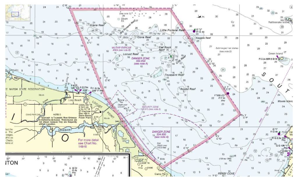
Camp Perry Danger Zones
This area, defined by 33 CFR 334.850, is a designated danger zone in the western end of Lake Erie, north of the Erie Ordnance Depot near Lacarne, Ohio. This zone is established to ensure public safety during military training exercises conducted in the region.
The Camp Perry Danger Zones are off limits during the National Matches held every July and early August. View the following documents for detailed information: Danger Zone 1.pdf, Danger Zone 2.pdf and Danger Zone 3.pdf.
The danger zone comprises two specific areas:
- Danger Area I: This sector has a radius of 6,500 yards centered at latitude 41°32′30″ N., longitude 83°01′00″ W.
- Danger Area II: This larger area encompasses Danger Area I and is bounded by specific coordinates detailed in the regulation.
The types of military activities conducted in these areas include:
- Danger Area I: Small arms impact exercises.
- Danger Area II: Ground-based artillery, antiaircraft artillery, and automatic weapons impact exercises.
Restrictions for public access are as follows:
- No person or vessel is permitted to enter or remain in the danger zone during scheduled firing periods unless specific permission is granted by the enforcing authority.
- The areas are open to the public for navigation, fishing, and other uses when no military exercises are scheduled.
The regulations for this danger zone are enforced by the Adjutant General of the State of Ohio or designated agencies.
For the most current information on firing schedules and access restrictions, it’s recommended to consult the Local Notice to Mariners published by the U.S. Coast Guard or contact local authorities.