Directions to Camp Perry
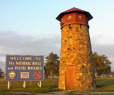
Camp Perry is located five miles west of Port Clinton, Ohio, on Ohio State Highway #2. Two lighthouse towers on the north side of the road on either side of the entrance mark the main gate.
View the Map of Camp Perry.
From Cleveland Airport
Get on I480 West, until you get to I80 (Ohio Turnpike). Take I80 West for one exit, to Elyria. Get off the turnpike, and go North on Rt57, to SR2. Take SR2 West, and travel for approximately 59 miles, until you cross the Portage River. Approximately 1 mile after you cross the Portage River, you will come upon railroad tracks with lights. Turn right here, between the 2 stone lighthouses.
From Columbus Airport
Take I270 North to US23 N. Follow US23 N to SR4, at SR4, go north approximately 52 miles to SR2. Go West on SR2 for about 25 miles. Approximately 1 mile after you cross the Portage River, you will come upon railroad tracks with lights. Turn right here, between the 2 stone lighthouses.
From Toledo Express Airport
Take the Ohio Turnpike East for 39 miles, to Fremont, exit 91. Go North on SR 53, for 10 Miles to SR2. Get on SR2 West, and go 2 ½ – 3 miles. You will see 2 stone lighthouses on your right, this is the entrance to Camp Perry, turn right, here.